Day 4/5, 30 Sep – 1 Oct
The night before I hooked up with my clients, Mark and Nikki, experts on trekking in extreme environments, and running medical training on such trips. I also scrubbed the first couple of days grime off.
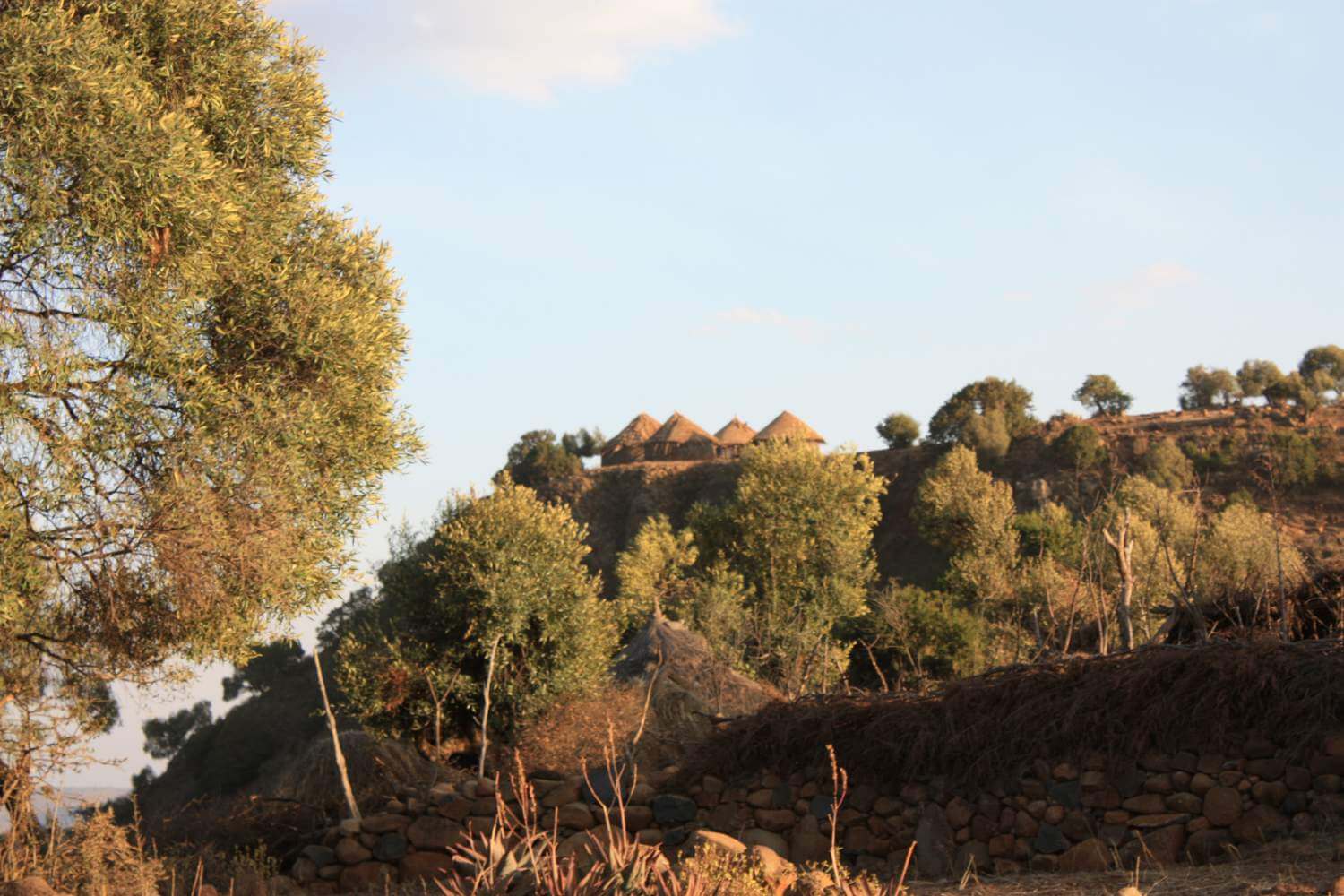
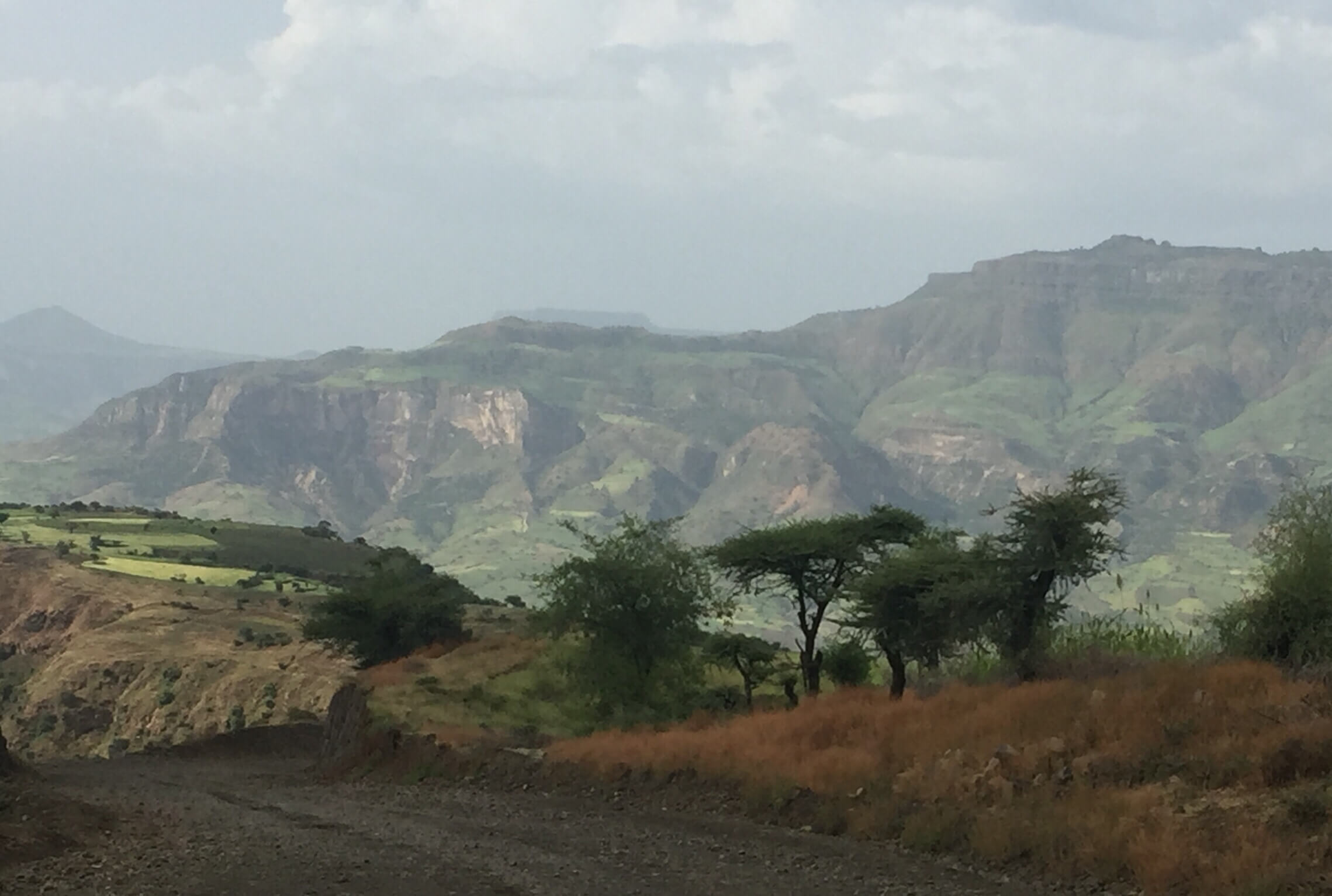
We set off after breakfast, and drove north to Sekota, the highland capital of Wag Hamra. It’s a lovely drive: the road is being asphalted and winds through a mountainous agricultural landscape with a mix of green crops in the fields.
We refilled with fuel and grabbed a great goat tibbs and shiro in town, stopping on our way out for a delicious coffee and apparently the best tea on the planet.
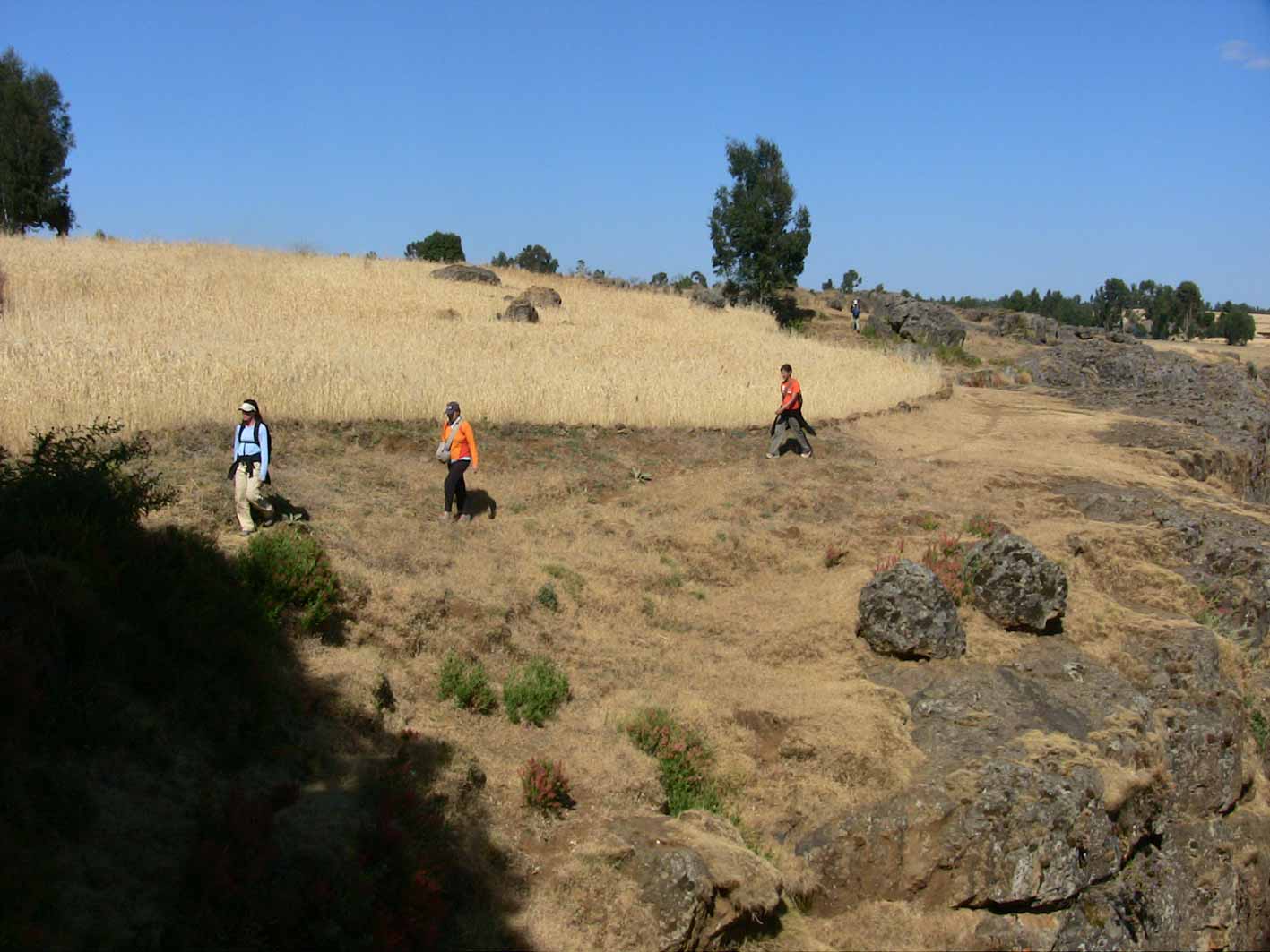
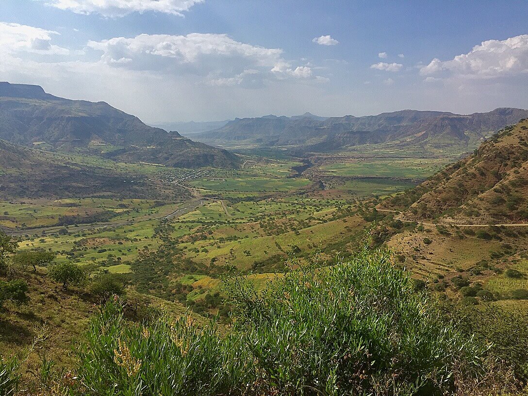 Fully charged we turned on to the road north, now a poor dirt road. Some 20 km from Sekota we turned westwards off the ‘main’ north road onto a feeder road going deeper into Wag Hamra. The road was surprisingly good. Still driving in agricultural highlands with green fields, the road wound around to give us a view of the canyons to come.
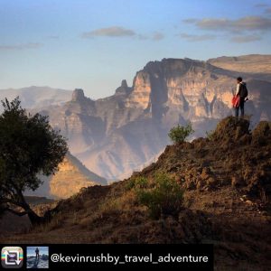
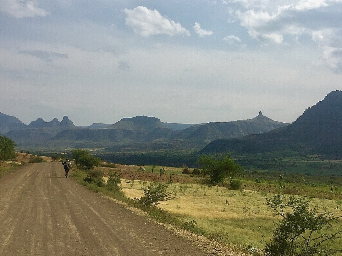 We dropped down in altitude, and found ourselves staring at jagged peaks and volcanic plugs, a testament to the part volcanic activity.
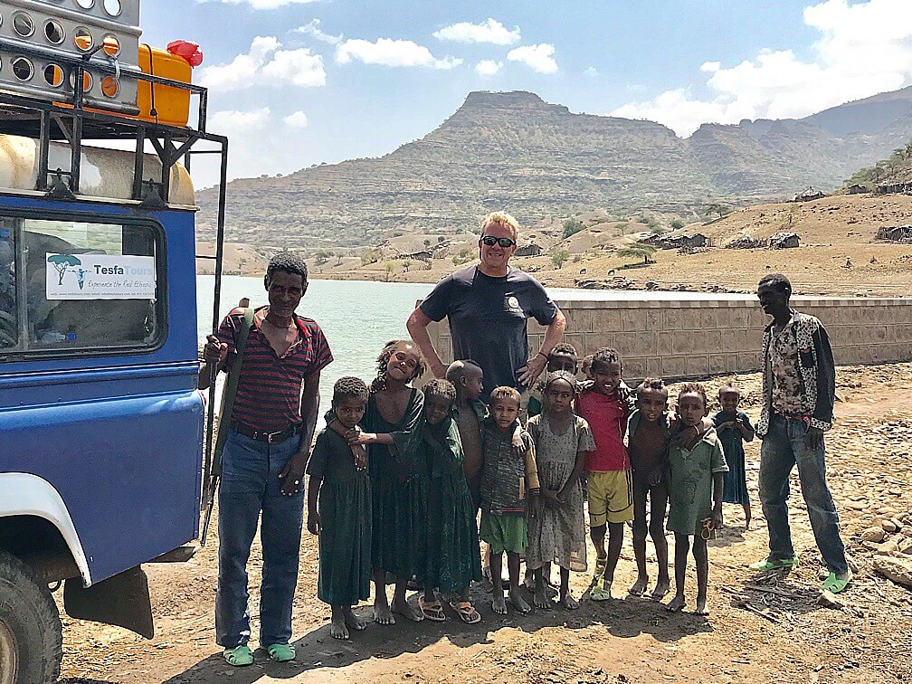
On the edge of the woreda town of Ziquala Wag Hamera, we stopped at a water pump to fill a couple of jerrycans for camping.
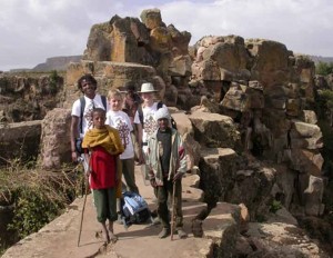
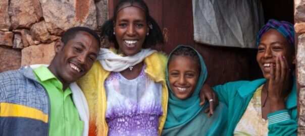
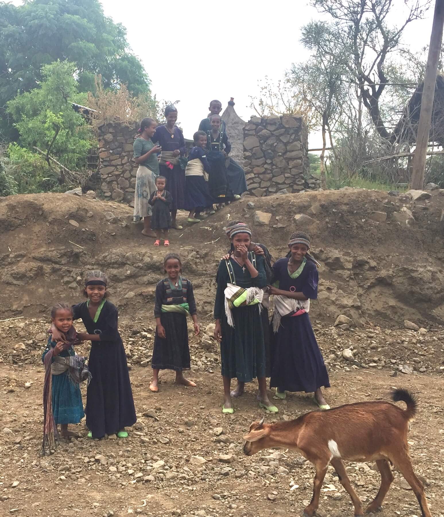
There were about 8 kids around including several beautiful girls dressed elegantly, not how how you’d think to dress to fetch water.
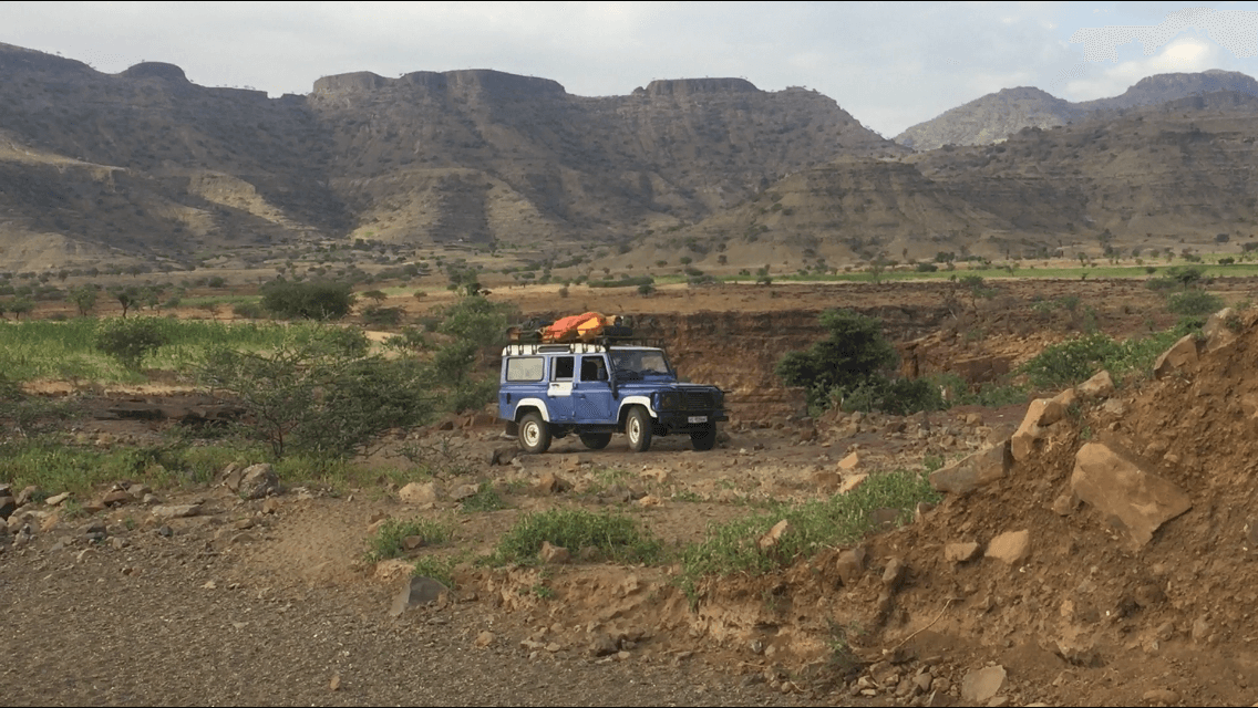 A few kilometres north west of town, I spotted a dry river bed running towards the gorge and a way to drive into the river bed and under the bridge. We were able to camp just off the riverbed in case of a flash flood.
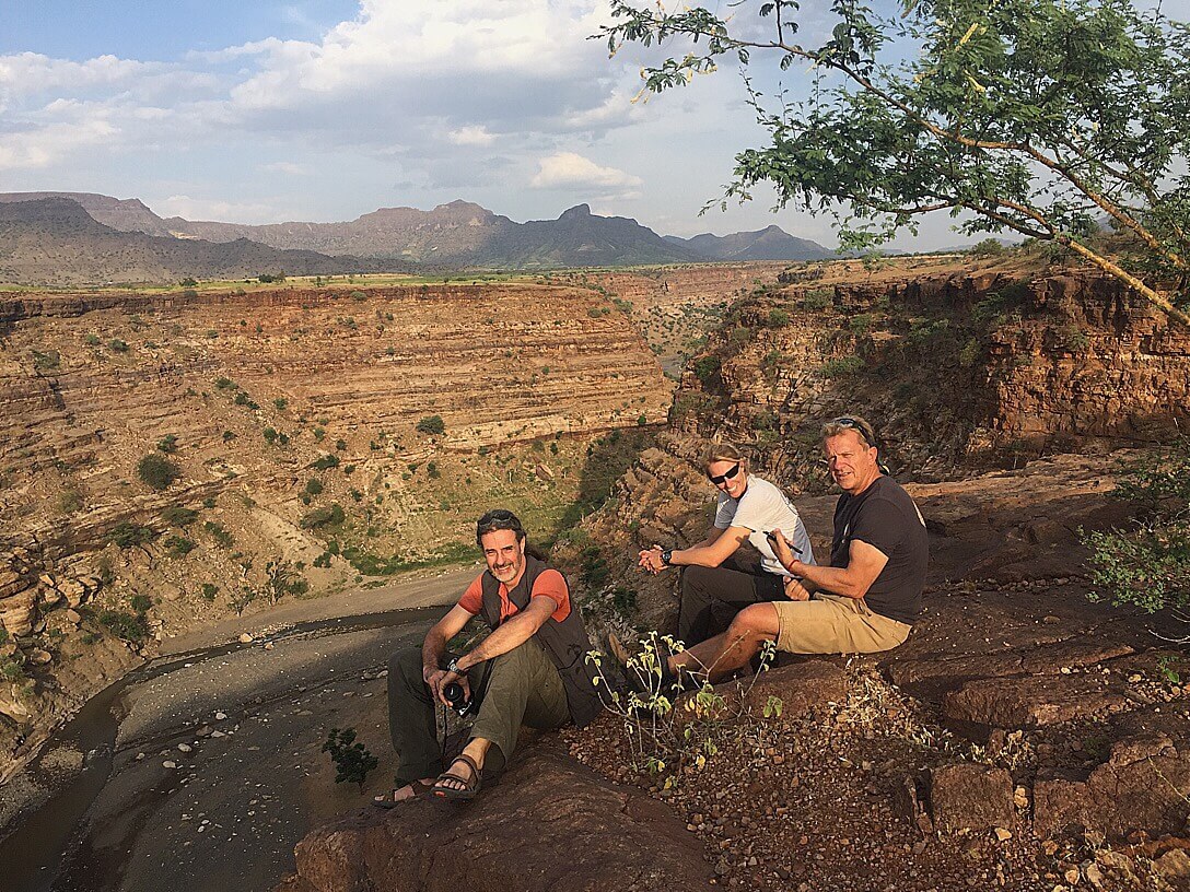 Stunning canyon; great campsite; poyke camp cooking. Had a local lad come and collect firewood for us. He enjoyed a cup of tea with us and reappeared next morning with fresh goats milk.
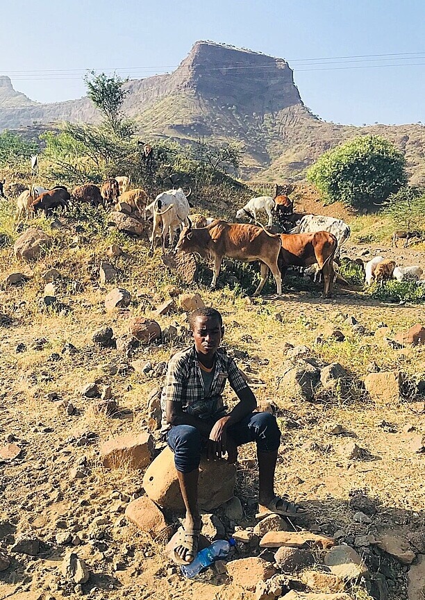 Photo curtesy of Nikki McLeary. Local, helpful Agaw lad
 We slept under pop-up mossie nets, hoping the little white scorpions that were running around, wouldn’t get in. But it was great to sleep under the stars.
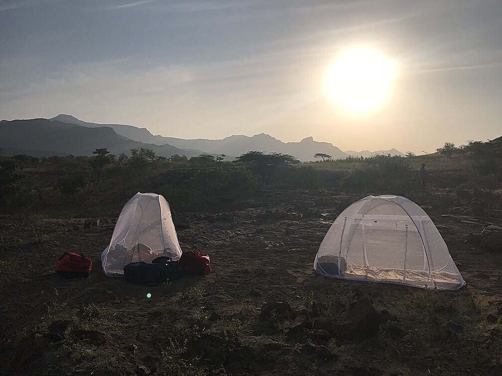 Photo curtesy of Nikki McLeary
After a breakfast of grapefruit and porridge (& goats milk)we set off westwards. We passed an intriguing sign for a Kidist Arsema monastery that pointed into the gorge. To be explored!
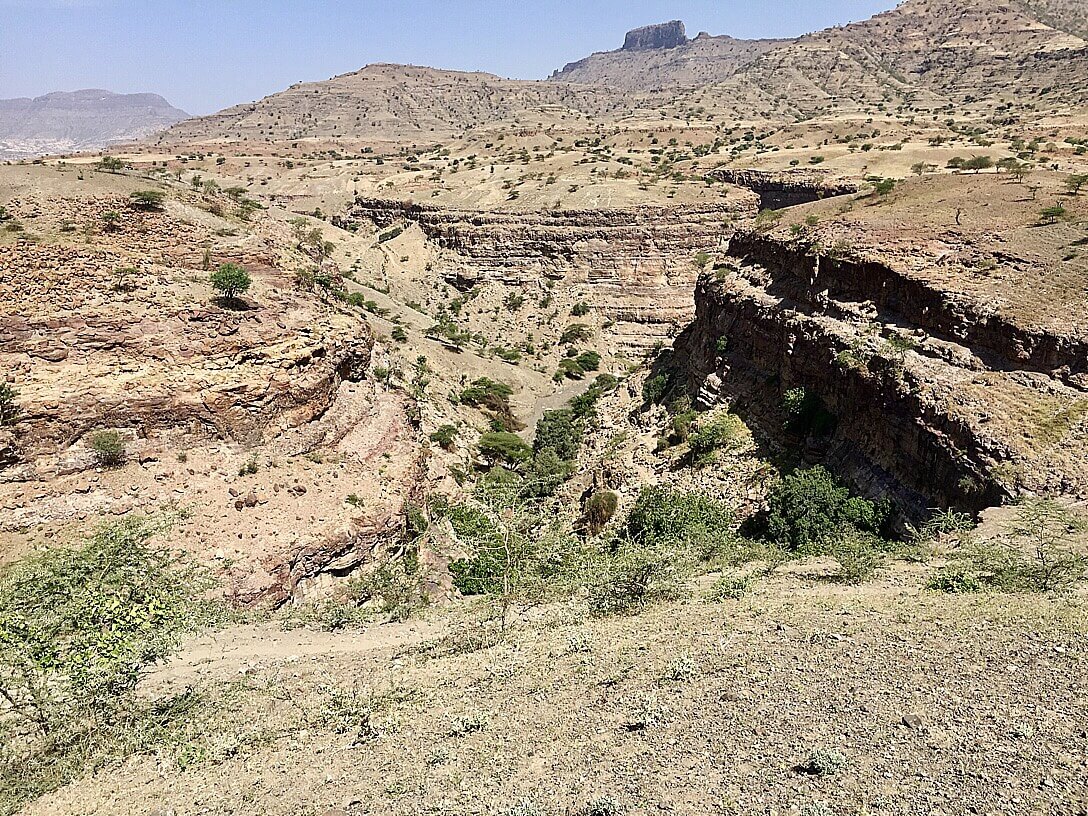 We headed down along the canyon which was now flooded by the damn on the Tekeze. The houses were constructed from wood, presumably drift wood that’s washed down the gorges.
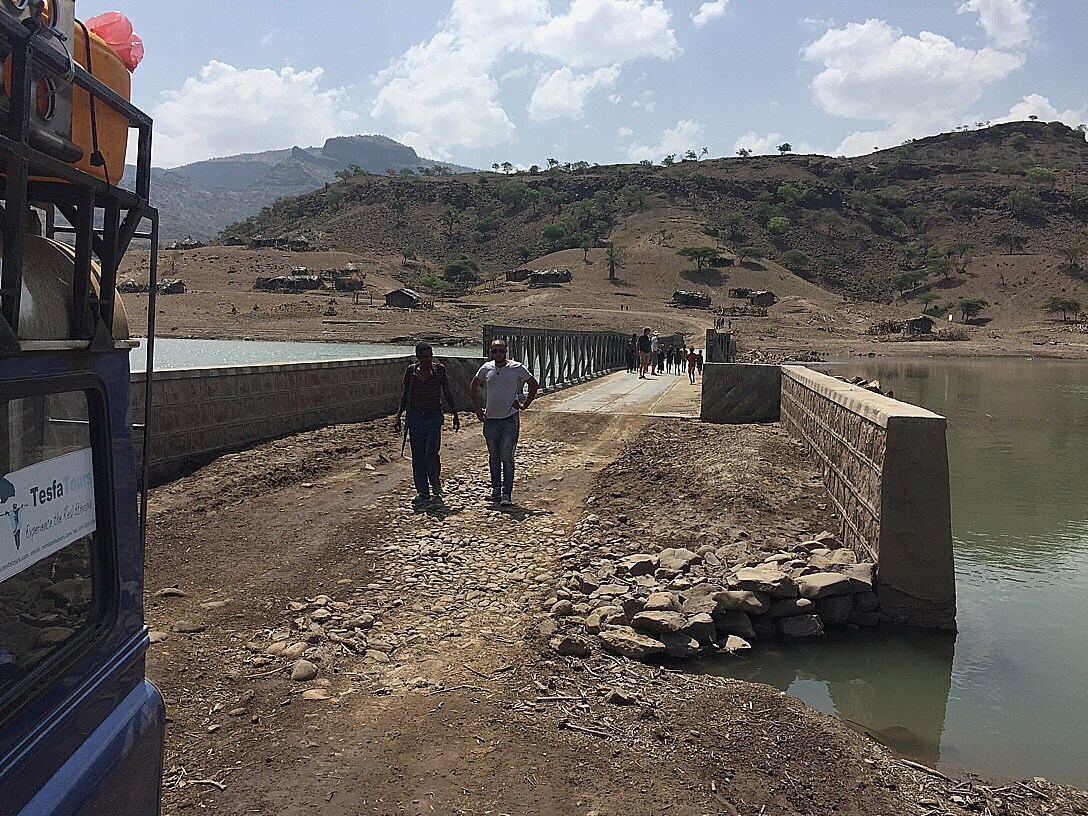 A long bailey bridge took us over a flooded gorges stretching southwards. Flotsam consisting of drift wood and even while trees was pushing against the bridge. The locals told us that there were crocodiles in the water so no swimming.
After the bridge we drove over a pass, where the road was being improved. The land to the west was a bit greener.
We were getting hungry and so very happy to pull into the woreda town of Shefru. We drove into a compound where we found ice cold beers and delicious goat tibbs.
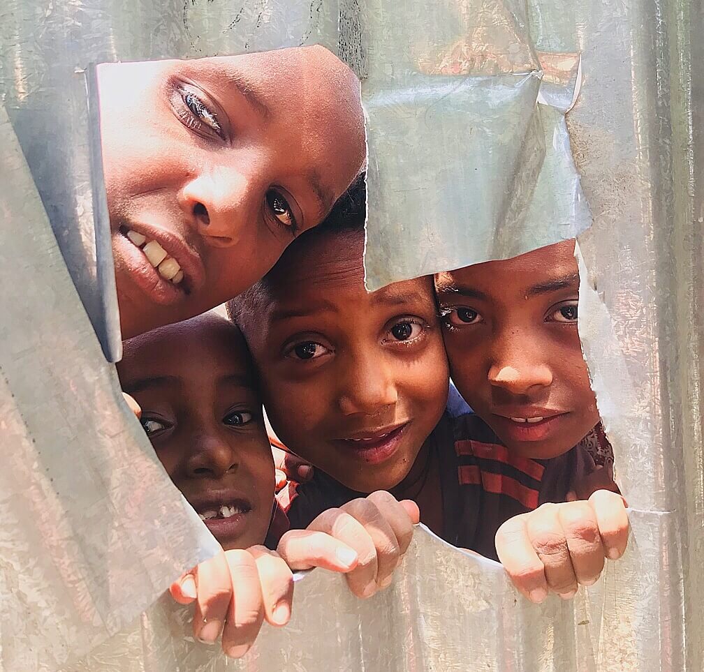
Photo curtesy of Nikki McLeary
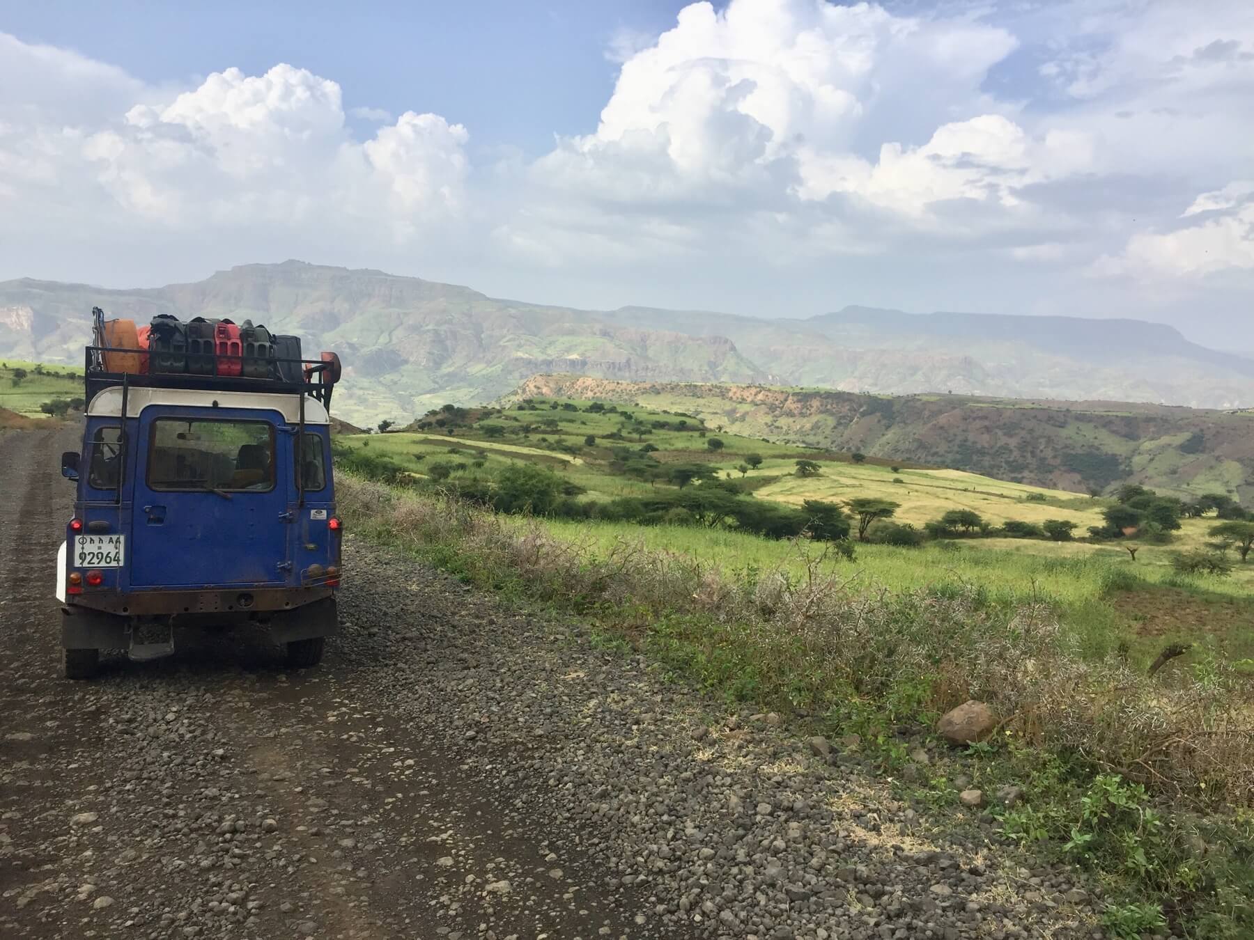
The kids were fascinated by the arrival of ferengis in a Blue Landrover and found a hole in the fence to peak in.
Our team was waiting in a village called Guaroch under the Simien escarpment that loomed to the west. Dawit (my driver) was told there was a way to drive through the lowlands and come out at Addis Zemen, just south of Gondar. We set off on the final leg of the the drive. We found the turn off from the more main road to Guaroch. This was the only bit of road that really needed a good 4WD, but was a short road. We saw Guaroch ahead, drove through the village to the school and where able to drive into the compound, although we had to widen the gap in the wall.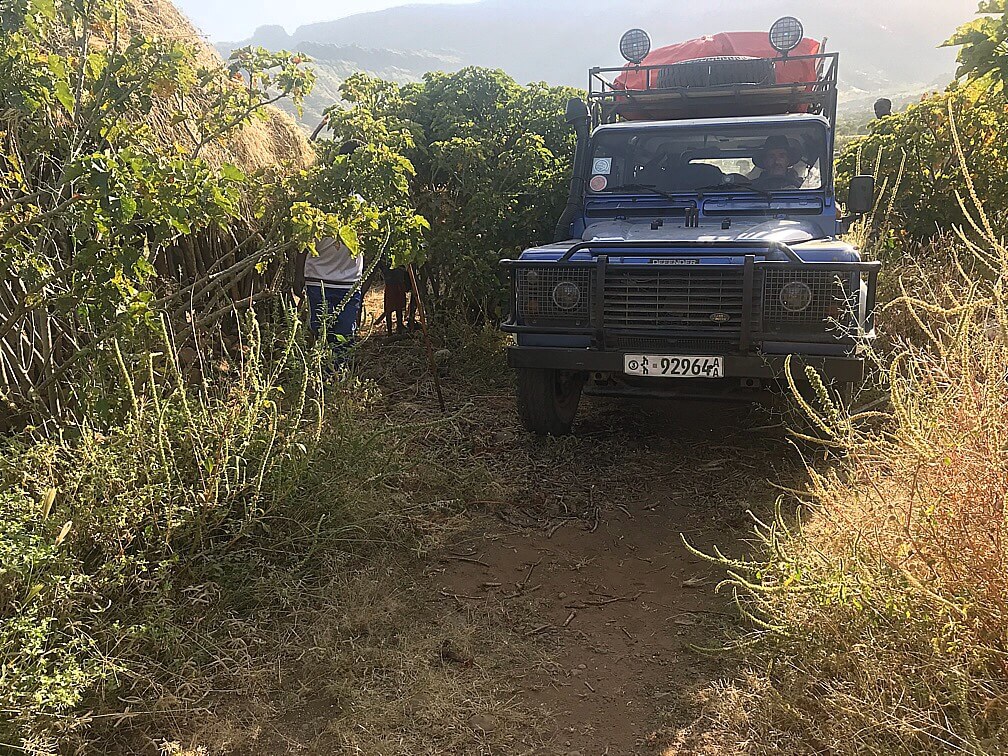
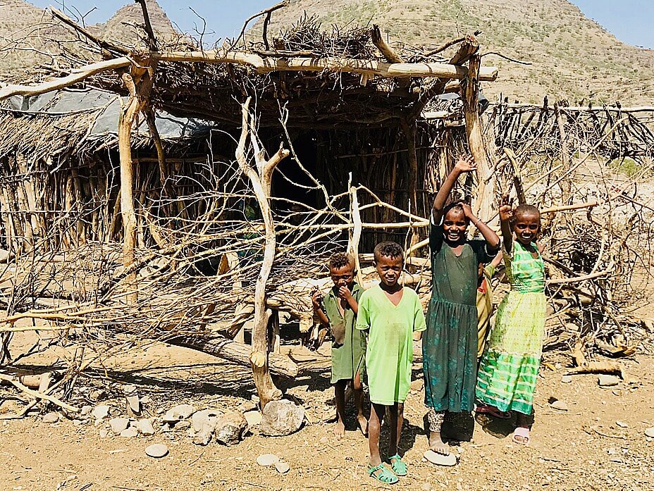
Guaroch was a tiny Agaw village at the foot of the southern part of the Simien massif. The school director was very helpful and we borrowed some school benches and got a little fire wood for a camp fire. The altitude was 1,700m so it was still warm and we used our pop up nets.

 We crossed Jammu river and stopped to see pilgrims from a bus (en route from Jimma to Gishen Mariam) washing in the river. We saw our tyre getting flat. It was 1,275 m above sea level. The temperature felt like 40*C. The nuts for the wheel got so hot they burned my fingers when I picked them up. It took 45 min to change tyre. I got my workout jacking up the car, moving wheels around, etc. I was able to wash in the river, which flowed with warm water.
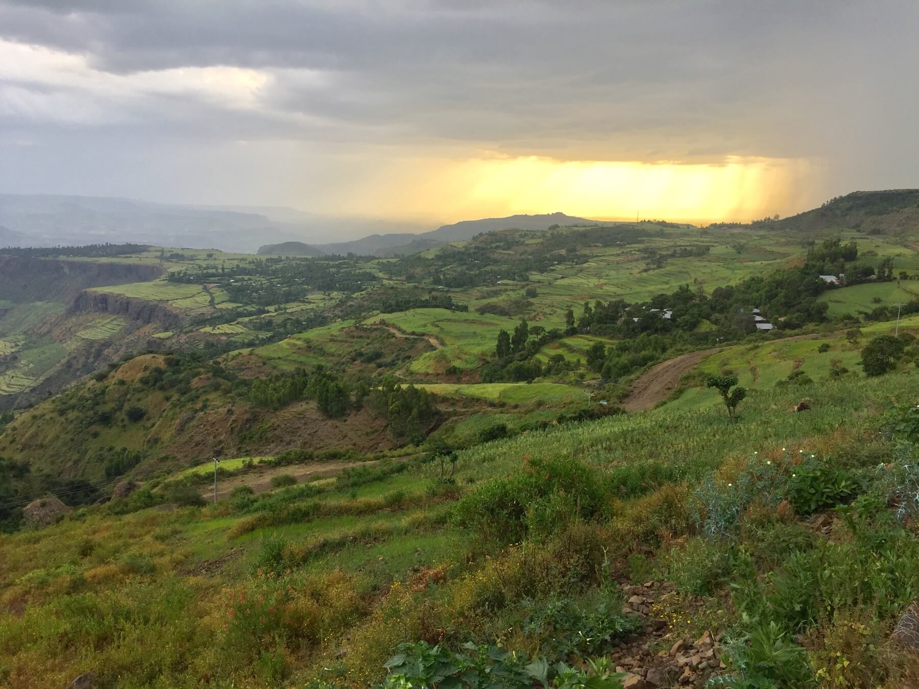
 We drove back west then north down to the Wonchit river, gorge number 2. We enjoyed the sight of terraced fields of emerald green teff and lower down sorghum field with stalks well over 2 meters high. It was a rich farm land.
 The wonchit gorge to our right. We soon realised that we were loosing the power steering. The oil had drained out. Dawit filled the fluid levels up but it went back out. The steering was hard without the power steering and we risked blowing the pump.